Yosemite Valley Late 2012
Fall rains produce otherworldly magic...

When it rains, most folks like to stay inside where it's dry and warm, but when it rains in Yosemite Valley, magic happens! The end of November 2012 was just such an occasion. At first, it was thought that the almost continuous rains would "wash out" any chance for photography. But there were other types of photographs to be taken!
Waterfalls, once dry from the end of the season runoff are roaring again at springtime levels; cold air and high humidities produce drifting fogs and mists; the sun trying to force its way through dense clouds chances to put a spotlight on the grandeur of the valley that is Yosemite.
A potential 'lost opportunity' turned into an even greater one. There are only a few images here, but they attempt to capture an ephemeral side of Yosemite that was almost missed due to "weather" and a lack of imagination.
1
Yosemite Falls in a pouring rain

2
Yosemite Falls growing

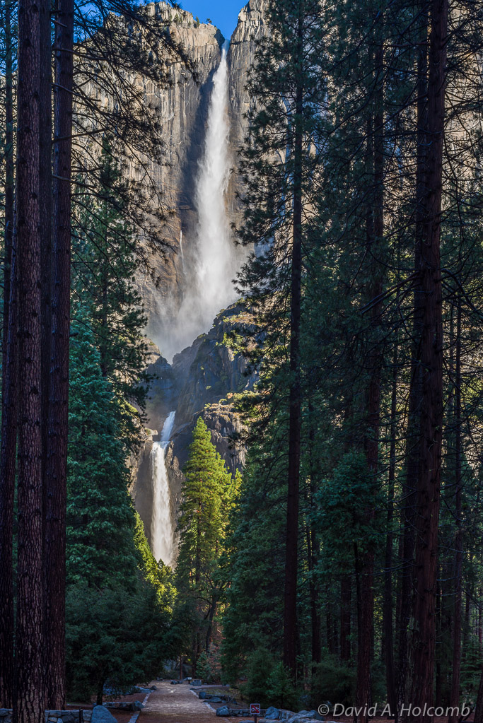
3
Yosemite Falls at Full Flow
4
Tunnel View Fog 1

5
Tunnel View Fog 2

6
Tunnel View Fog 2 In Black and White

7
Tunnel View Fog 3

8
Tunnel View Fog 3 in Black and White

9
El Capitan at Cathedral Beach

10
Sentinel Beach Reflection

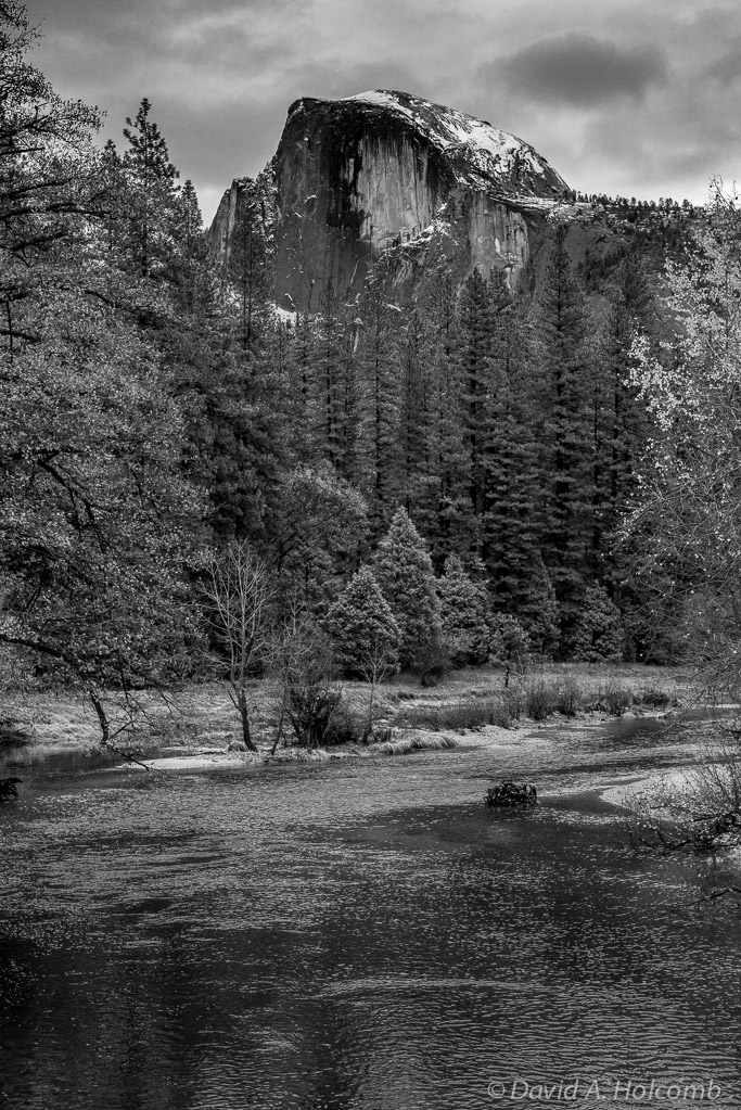
11
Half Dome Sentinel Bridge

12
Half Dome Sentinel Bridge Black and White
13
El Capitan and the Merced River

14
Morning Mist at Cathedral Rocks

15
Valley View Mists